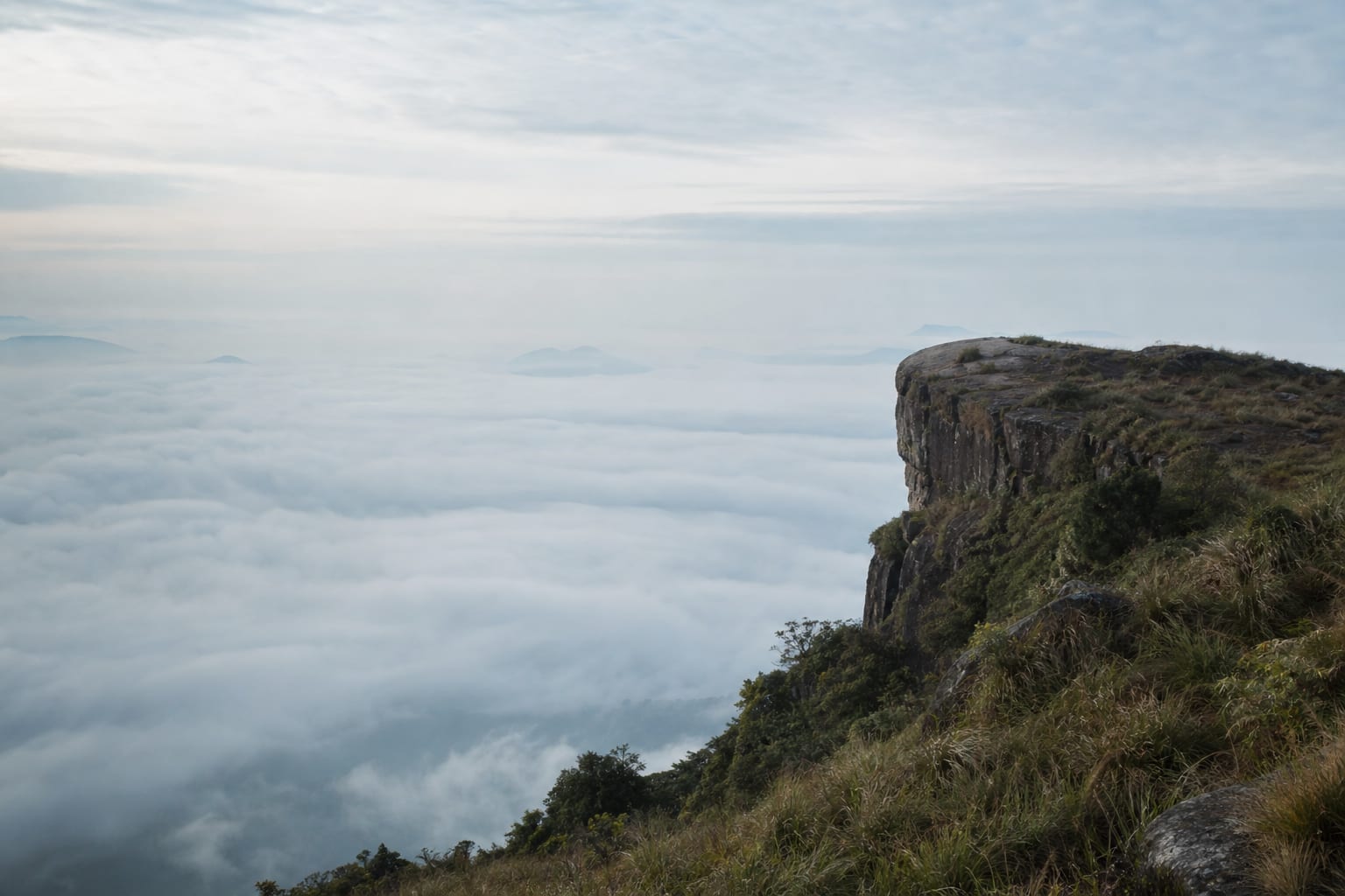
The Ella Rock hike is unmarked where it matters and easy to get wrong. Here is the route, the timing, and whether you need a guide.
The Ella Rock hike has a reputation for being the one people get lost on, and the reputation is earned. Not because it is dangerous or long, but because the route follows a railway line, leaves it at a point nobody marks, and then forks twice in places where the wrong path looks more like a path than the right one.
None of that makes it hard walking. It makes it a navigation problem dressed up as a hike, which is a different thing, and it is why a two-hour walk regularly turns into four for people who went the wrong way at the stream.
The view at the top is the best in the area and considerably better than Little Adam's Peak, which is the other reason to persist.
How long does the Ella Rock hike take?
Published estimates range from two hours round trip to four, and that spread is not sloppiness — it is the difference between people who found the route and people who didn't.
Walking time, if you go the right way and don't stop much, is realistically somewhere in the middle of that range including the descent. Add time at the top, because you will want it, and add more in wet conditions when the descent becomes genuinely slow.
TODO: replace this whole paragraph with your own measured time, door to door, noting where you stopped and what the ground was like that day. A real number from someone who walked it beats every estimate on this page.
What is the route?
Broadly: out of Ella along the railway track toward Kithalella, off the line near a small bridge, across a stream, then up through eucalyptus and tea to the summit plateau.
The railway section is the easy part and also the part people enjoy — you walk the sleepers past estate houses with the valley opening on one side. Trains do use this line. They are slow and audible a long way off, and you step aside.
The problems start where you leave the track. There is no sign. The turning is a worn path down to the left toward the water, and it does not look like the main route because the railway keeps going and looks more official.
After the stream the path climbs and splits. TODO: describe the two forks and what you did at each one — this is the single most valuable thing you can add to this page, and the reason someone will link to it.
Do you need a guide for Ella Rock?
In dry conditions, with an offline map and a willingness to backtrack, most reasonably confident walkers manage it alone. In the wet, or if you are starting before light for sunrise, a guide is money well spent — the descent turns to slick red mud and the turnings are much harder to read in the dark.
The guides who wait near the trailhead are a mixed proposition. Some are genuinely useful local people; some are opportunists charging for a path you could follow yourself. Agree the price before you set off, not on the way down.
Is Ella Rock better than Little Adam's Peak?
They are not really competing. Little Adam's Peak is a made path, about half an hour up, steps near the top, and suitable for almost anyone including children. Ella Rock is a proper walk with a navigation problem attached.
The honest comparison:
- Time available is short, or you are not a confident walker. Little Adam's Peak. You will get most of the view for a fraction of the effort and be back for breakfast.
- You want the walk as much as the view. Ella Rock, without question. The summit is bigger, quieter and looks back over the whole gap.
- You want both. Do Little Adam's Peak on the afternoon you arrive and Ella Rock the next morning. That is the sequence that works.
Our things to do in Ella guide covers how both fit into a two-day stay along with the bridge and the train.
Should you do it for sunrise?
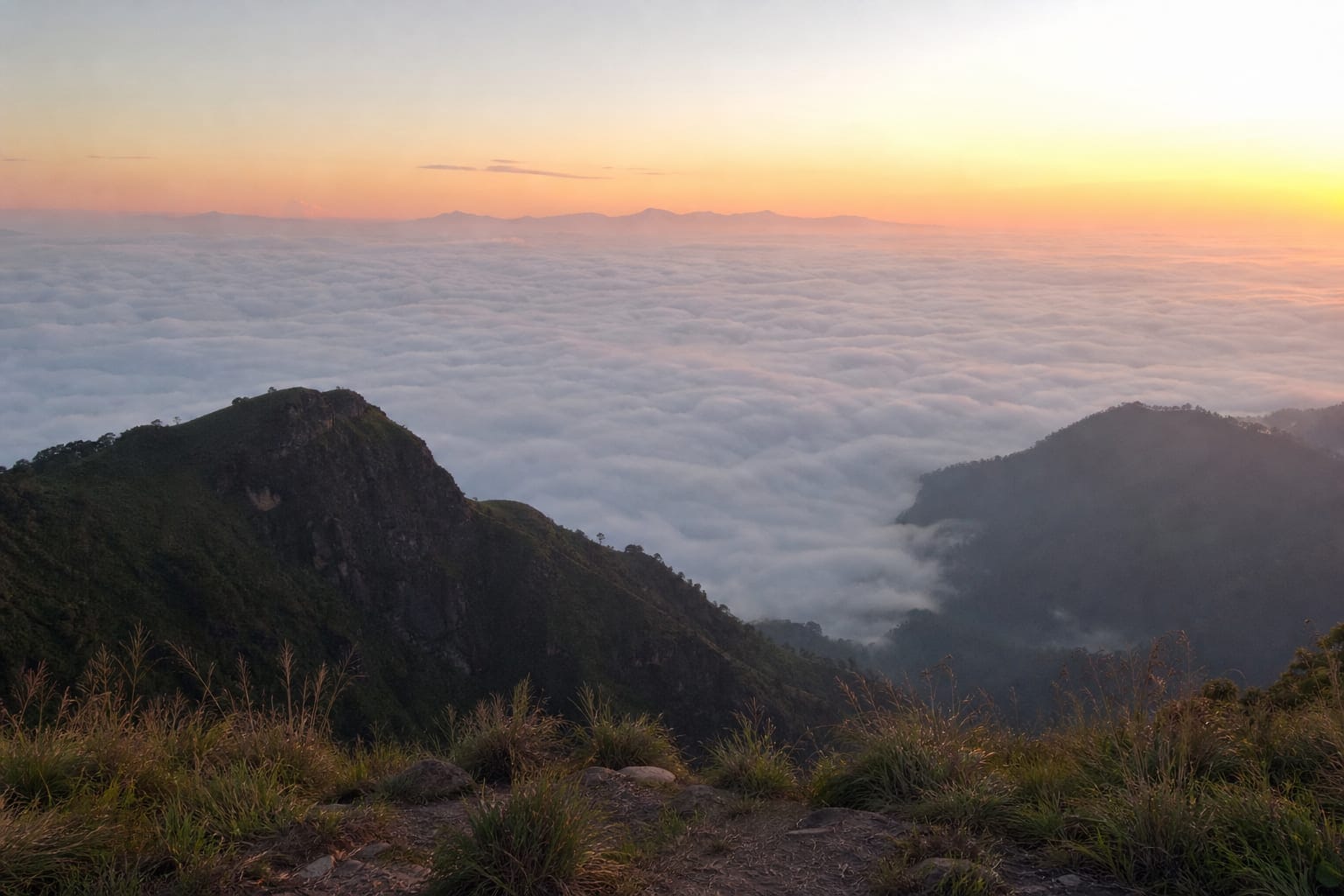
Sunrise from the top is the best version of this hike, with the valley full of cloud and the light coming over the far ridge. It also means walking the tricky section in the dark, which is exactly when the route is hardest to follow.
If you do it, take a proper head torch rather than a phone, and strongly consider a guide for the first time. Do it as a second visit, once you know the way, and it is one of the better mornings available in Sri Lanka.
How do you get to Ella Rock from Colombo?
Ella is roughly 200 km from Colombo and the road takes six to seven hours, which is why most people arrive the night before rather than the morning of the hike. The train from Kandy is the better-known approach and arrives at Ella station, ten minutes' walk from where the route starts.
By road
Use the link above for turn-by-turn directions.
About 200 km by road. Allow six to seven hours; the last stretch up from Wellawaya is slow and winding after dark.
The walk itself starts at Ella railway station and follows the line toward Kithalella before turning off it.
On foot
Use the link above for turn-by-turn directions.
Around 4 km each way. The mapped line follows roads, not the railway sleepers you actually walk — treat it as an overview, not a navigation aid.
Practical notes
- Leeches appear in the wet stretches after rain. They are harmless and deeply unwelcome; long socks help.
- Dogs from the estate houses often walk sections with you. They are generally friendly and will turn back on their own.
- There is nothing to buy on the route. Occasionally somebody sells drinks near the summit, and you should not plan around it.
- The train line is live. Do not wear headphones on that section.
Go up in the dark or go up at first light, but go up early. Then take your time at the top — the cloud usually clears off the valley in stages, and the third view is better than the first.